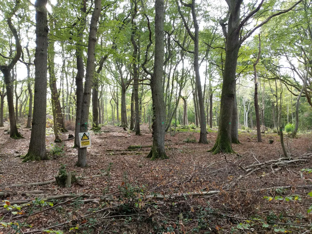

These 10 walks near Canterbury run from the Crab and Winkle Way to Stodmarsh, with distances, surfaces, parking and dog rules. Checked October 2026.
The walks near Canterbury most people look for are the Crab and Winkle Way, the old railway route to Whitstable; the ancient woodland of Blean Woods, where bison now roam; the flat, surfaced Great Stour Way along the river to Chartham; and Stodmarsh nature reserve in the Stour marshes. Distances, parking, toilets and dog rules are as of October 2026. Paths in the woods and marshes turn muddy after rain, so boots are worth it from October to April.
In and around the city
Westgate Parks and the city walls
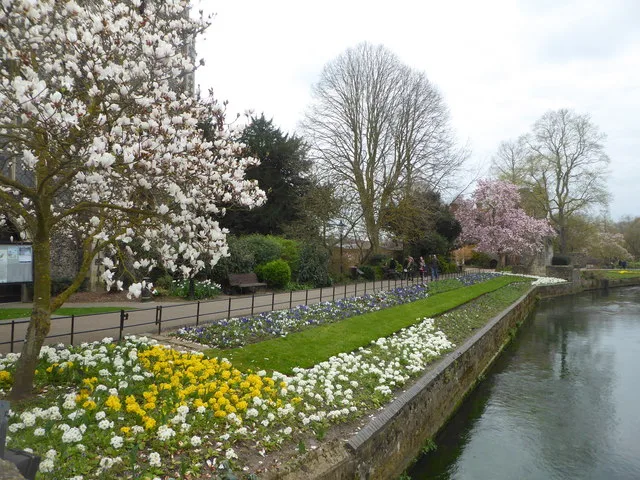
The easiest walk in Canterbury starts at the Westgate Towers. The Kentish Stour Countryside Partnership describes the Westgate Parks as four areas covering 12 hectares along the Great Stour, running from Westgate Gardens past Toddlers Cove to the Bingley Island local nature reserve, and they have held a Green Flag award every year since 2017. From there it is a short walk through the city to Dane John Gardens, where a path climbs the Dane John mound and joins the terrace walk along the top of the rampart inside the medieval city wall, according to Historic England’s listing for the gardens. Dogs must be on a lead in Westgate Gardens, Toddlers Cove and Dane John Gardens under the council’s dog control order.
Great Stour Way to Chartham
A surfaced path beside the Great Stour from Canterbury to Chartham, opened on 21 May 2011 and described by the Kentish Stour Countryside Partnership as a multi-user path for walkers, cyclists and wheelchair users. Kent Downs National Landscape gives the length as about three miles and lists it as 100% off road on National Cycle Route 18, with start postcodes CT2 8BG in Canterbury and CT4 7HZ in Chartham. Cattle graze the meadows along the way, so expect cattle grids and wooden kissing gates. A second phase continues upriver from Chartham towards Godmersham. Canterbury East station at one end, Chartham station at the other, so it works one way with a train back.
Fordwich and the Stour Valley
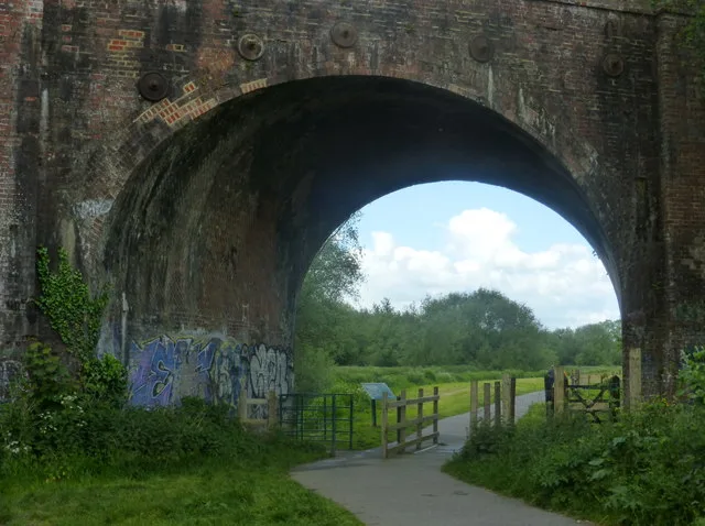
Fordwich, a few miles east of Canterbury off the A28, was once the port for the city, and the river is still tidal to here. A route published by iFootpath for the George and Dragon pub runs six miles, or three if you leave out the arm into Canterbury: out along the Stour on the stone path of National Cycle Route 1, through the water meadows and woodland, and back over grass and earth paths with wide views. iFootpath rates it moderate, warns of gradients and winter mud, and counts five stiles, four of them on the Canterbury arm, plus two cattle grids, all with gaps for dogs. Allow two and a half to three hours for the full walk. Starts at the George and Dragon car park, King Street, Fordwich, CT2 0DB (our directory listing).
The Blean woods
Crab and Winkle Way
The route of the Canterbury and Whitstable Railway, now part of National Cycle Network Route 1 and shared by walkers and cyclists. The Walk Wheel Cycle Trust, formerly Sustrans, gives it as 7.6 miles (12.2 km) from Canterbury to Whitstable station, signed on to the harbour. It is 74% traffic-free, with 63% on asphalt and the rest on firm unsealed surface. Expect a 61m (200ft) climb out of Canterbury and an undulating middle section through Blean Woods; the trust picks out the Winding Pond as a picnic spot and the view over Whitstable from the highest point. Walk it one way and take the train back from Whitstable.
RSPB Blean Woods
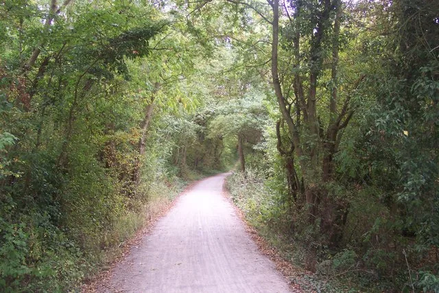
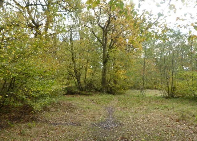
The RSPB reserve off Rough Common Road covers coppice, high forest, glades and heathland in what the trust behind the Crab and Winkle Way calls one of the largest areas of ancient broadleaved woodland in southern Britain. The RSPB says the paths are unimproved and may not suit pushchairs or wheelchairs, and there are no toilets: the nearest are in Canterbury, about two miles away. The car park is open 8am to 8pm and has 1.8m height bars; larger vehicles park on Ross Gardens. Dogs are allowed on the public footpaths under close control. No barbecues or fires. Rough Common Road, Canterbury, CT2 9DD.
West Blean and Thornden Woods
Kent Wildlife Trust’s 490-hectare reserve between Canterbury and Herne Bay, home of the Wilder Blean bison. A 3km (two-mile) hard track runs the length of the reserve from the car park, with five waymarked trails off it, including a purple route around the outside of the bison compartments and a one-mile surfaced all-weather circular that takes about 30 minutes and is suitable for wheelchair users. The bison live in 150 hectares of fenced woodland that the public may not enter, and the trust says sightings are relatively rare; the bison bridges are the best place to look. Dogs on a lead, as livestock are on site. Parking £2 on weekdays and £2.50 at weekends via RingGo (code 32512). Thornden Wood Road, CT6 7NZ.
Victory Wood
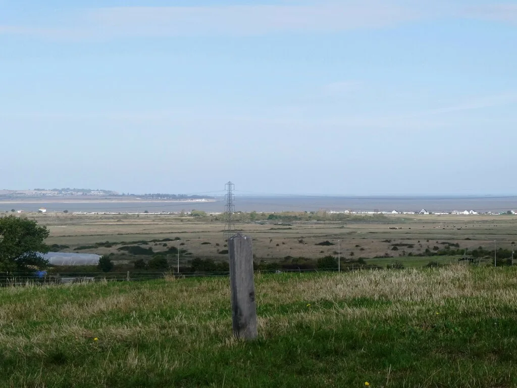
A young wood near Dargate, between Whitstable and Faversham, planted by the Woodland Trust between 2005 and 2008 to mark 200 years since Trafalgar. It covers 140 hectares, and the trust promises views across the Kent coast and the Blean. It also holds one of the Cold War posts built to monitor radioactive fallout, open from 1966 to 1976. The main entrance suits wheelchairs and pushchairs, but the other paths are grass and earth that turn slippery when wet, and the southern end is steep. A free car park at the entrance takes 15 cars, signed from the A299; there are no toilets on site, the nearest being at the A299 service area about 0.4km away.
The coast
Tankerton Slopes and The Street
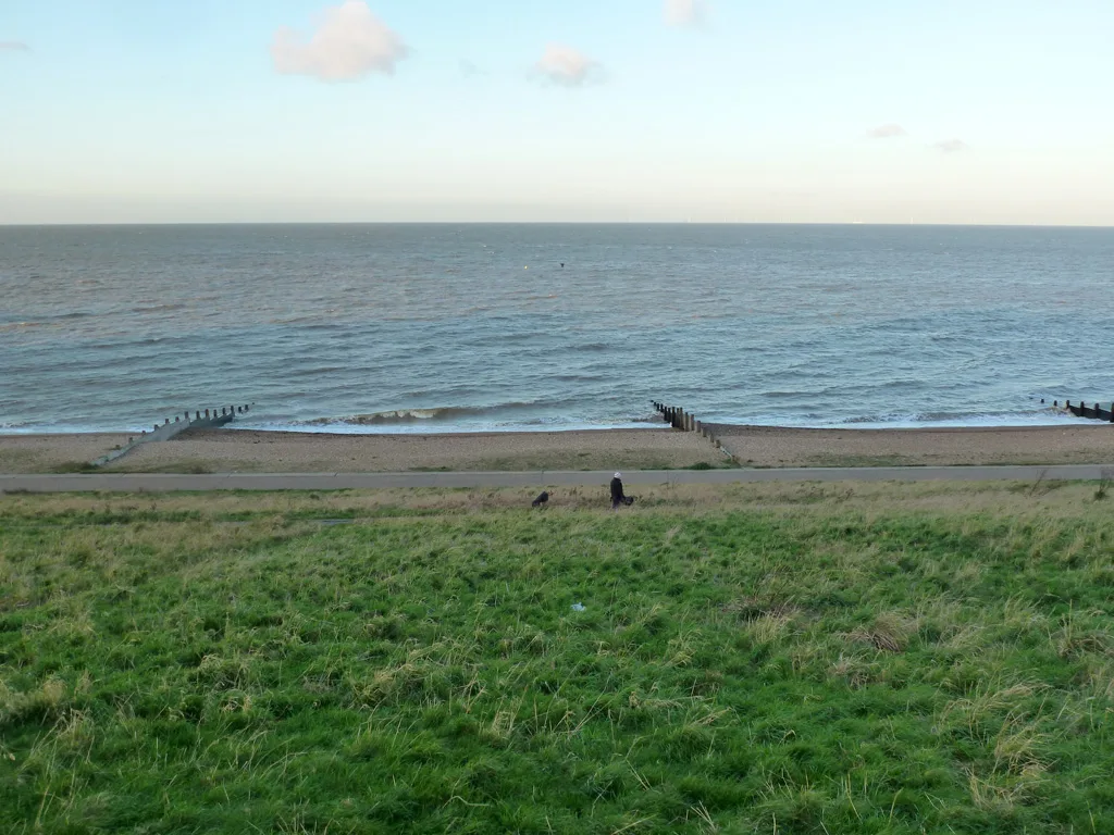
The grassy slopes above Tankerton beach run east from Whitstable harbour, with a promenade below. At low tide a shingle bank called The Street runs out to sea from the beach. The tide covers it again quickly, so check a tide table before walking out. Dogs must be on a lead on the promenade from Pier Avenue west to The Street, and are banned from that stretch of beach from 1 May to 30 September, but the slopes are covered by neither rule, according to the council’s dog control order. Walk west and you are back in Whitstable town for the harbour and the end of the Crab and Winkle Way.
Herne Bay to Reculver
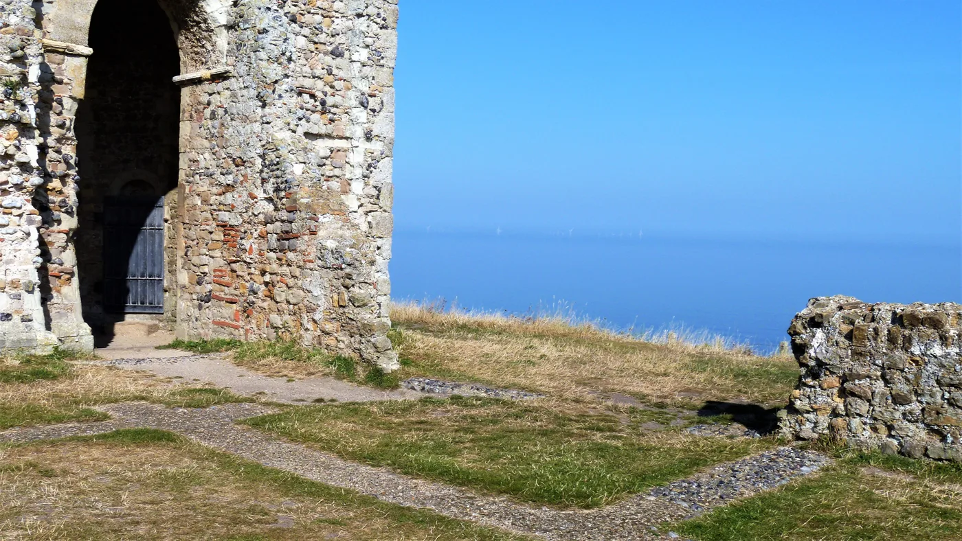
A coastal walk of a little over three miles from Herne Bay pier east to Reculver Towers, along the promenade and the Saxon Shore Way, with a climb at Bishopstone to get round the headland. Cyclists use the same coast on the Oyster Bay Trail, which Cycling UK lists as running 10km from Reculver to Swalecliffe. At the far end, English Heritage says the towers, the remains of a Roman Saxon Shore fort and a 12th-century church, are free to view in daylight, with dogs welcome on leads. There is a charged car park beside them, and toilets and a cafe in Reculver Country Park; HatHats Coffee Company runs one cafe there (our directory listing). Reculver Lane, CT6 6SS. Herne Bay station is the start.
The Stour marshes
Stodmarsh National Nature Reserve
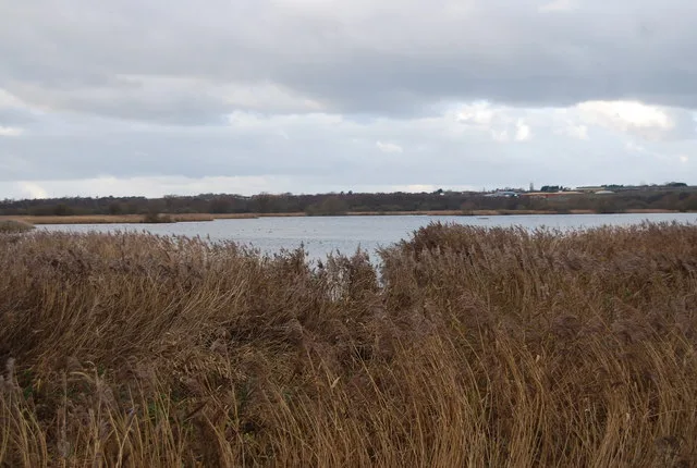
Reedbeds, lagoons and wet meadows in the Stour valley east of Canterbury, run by Natural England. Its published visitor information lists more than 6km of footpaths, including a circular walk around the whole reserve, and short and long sensory trails with wheelchair access at the Stodmarsh end. The main car park is east of Stodmarsh village (CT3 4BA), with voluntary charges paid through RingGo, and has toilets, including an accessible one. There is more pay and display parking at the Grove Ferry end (CT3 4BP), beside the Grove Ferry Inn on the river (our directory listing). No cycling inside the reserve: bikes go in the car park racks. Natural England’s page does not set out its dog rules; ask on 0300 060 3900 before you bring one.
How we chose
These are the walks Canterbury people search for and the routes the district’s land managers promote: the RSPB, Kent Wildlife Trust, the Woodland Trust, Natural England, English Heritage, the Kentish Stour Countryside Partnership and the Walk Wheel Cycle Trust. Distances and facilities come from their own pages, the Fordwich route from iFootpath and the dog rules from Canterbury City Council’s dog control order, which runs to May 2027. We left out Larkey Valley Wood near Chartham because the council closed it after storm damage in 2022 and we could not find a published reopening. Run a reserve, a cafe on one of these routes or a walking group, or spot something that has changed? Email newsdesk@canterburylive.co.uk.
For more ideas, see things to do in Canterbury, what’s on in Canterbury this month, our guides to Canterbury playgrounds, pubs, Sunday roasts and cafes, or browse local businesses in Canterbury in our directory.
Frequently asked questions
Which walks near Canterbury are suitable for wheelchairs and pushchairs?
The Great Stour Way is a surfaced path built for walkers, cyclists and wheelchair users between Canterbury and Chartham. Kent Wildlife Trust’s one-mile all-weather circular at West Blean and Thornden Woods is suitable for wheelchair users, Stodmarsh has two sensory trails with wheelchair access, and the Woodland Trust says the main entrance at Victory Wood suits wheelchairs and pushchairs. RSPB Blean Woods warns that its unimproved paths may not suit pushchairs or wheelchairs.
Can you see the bison in Blean Woods?
Sometimes, but not often. The bison live in fenced compartments at West Blean and Thornden Woods that the public cannot enter. Kent Wildlife Trust says sightings from the public paths are relatively rare; the bison bridges give a view, and its paid Bison Ranger Experiences give the best chance.
Are dogs allowed on walks near Canterbury?
On most of them, with rules. Dogs must be on a lead at West Blean and Thornden Woods, where livestock graze, and under close control at RSPB Blean Woods. Under Canterbury City Council’s dog control order dogs must be on a lead in Westgate Gardens, Dane John Gardens, the Reculver picnic areas and along the Tankerton and Herne Bay promenades, and they are banned from the beaches at Tankerton and Herne Bay from 1 May to 30 September.
Have your say